
Ready to Test Out the Route?
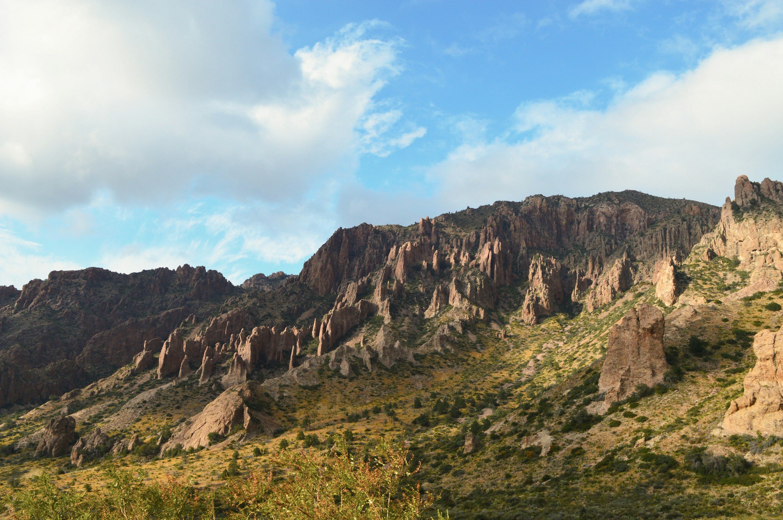
The 1,500-mile draft route of the xTexas Trail is a work in progress. It consists of a mix of single-track trails and gravel and paved back-country public roads. It goes through some sections of state and national parks. To complete and connect the full route, it will need to cross private land. We are working on making those connections now.
Do you own land along the route you’d like to give us access to? Or do you know people we should be in touch with to gain access to utility corridors and other ways to navigate off the road? Email Charlie: Charlie(at)xtexas.org.
If you’d like to test out the route we welcome your feedback - however - do so at your own risk. This is not a supported trail at this time.
Any ideas and suggestions for improving the route should be emailed to Charlie: Charlie(at)xtexas.org.
December 2025:
Thanks for your patience! These things take a lot of work to put together accurately! A brand new draft route will be shared in January! Stay tuned here and to our email newsletter to learn when it will launch. We’ll be hosting a special Zoom call debut.
March 2025:
Original draft route on Ride with GPS Charlie created in August 2024: xTx draft route · Ride with GPS
Charlie’s updated Ride with GPS page of the first 100 miles of the draft route: xTx draft route · Ride with GPS
Here’s the link to the Google Drive folder with the print maps Charlie updated in February 2025: xTex Trail Draft Route Hard Copy Map Updates Feb 2025